
Education & Planning
Flood Zones Explained: What Your FEMA Map Actually Means (And Why It Matters)
By the Flood Guard team | Updated | 7 min read
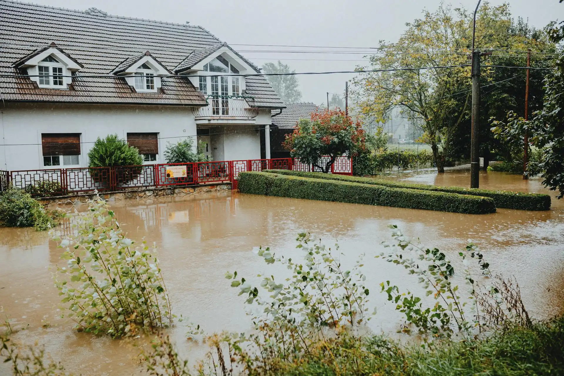
FEMA's Flood Insurance Rate Maps (FIRMs) sort land into zones by flood risk. The zone affects whether your lender requires flood insurance, what it costs and how you're allowed to build. Here's what the letters mean, in plain English.
High-risk zones (Special Flood Hazard Areas)
These have at least a 1% chance of flooding in any year, often called the "100-year flood". Over a 30-year mortgage, that works out to roughly a 1 in 4 chance of at least one flood. Lenders backed by the federal government require flood insurance here.
- Zone AE: high risk, with a Base Flood Elevation (BFE) set. Compare your floor height (from an elevation certificate) with the BFE to see how deep water could get.
- Zone A: high risk, but no detailed study, so no BFE.
- Zone AO / AH: shallow flooding, usually 1 to 3 feet.
- Zone VE: coastal high-hazard area with waves as well as rising water. Building rules are strictest here. Flood panels are designed for still or slow-rising water; in areas with breaking waves, elevation and structural design matter most.
Moderate and low-risk zones
- Shaded Zone X: about a 0.2% yearly chance (the "500-year flood"), or areas protected by levees.
- Unshaded Zone X: minimal mapped risk.
"Moderate" doesn't mean safe. Nationally, a large share of flood claims come from outside high-risk zones, and that was obvious in Tampa Bay after Helene and Milton.
What the map doesn't show
- Storm surge from a storm larger or on a different track than the models assumed
- Street drainage that backs up during heavy rain at high tide
- New construction that changed how water flows
- How low your particular doorway sits compared with the street
How to use your zone
- Look up your address on FEMA's Flood Map Service Center (msc.fema.gov) or your county's flood map tool.
- Get your elevation certificate if one exists.
- Think about what actually happened at your property and on your street in past storms.
- Protect every opening below the water level you're planning for.
Not sure what height to plan for? Our free assessment covers it.